OPENROADS DESIGNER
Road design software
Category/INFRASTRUCTURE
OpenRoads Designer is a full-featured, detailed design application for surveying, drainage, underground infrastructure, and road design that replaces all functionality previously provided by InRoads, GEOPAK, MX, and PowerCivil.
Create intelligent models containing not only terrain data, but also roadway or site characteristics. You can use features to visually distinguish the structure, appearance, and symbology within your project.
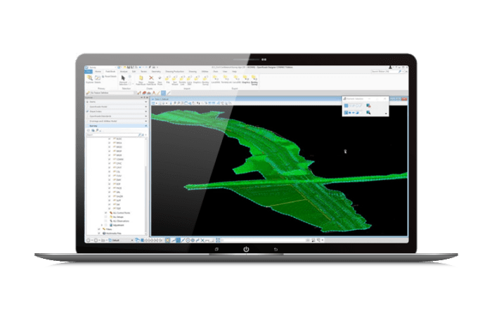
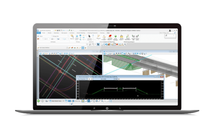
Use object-oriented coordinate geometry and alignment design capabilities that offer intelligent updates as you quickly create precise horizontal and vertical alignments. Use elevation profiles to visualize surface information, as well as the vertical alignments associated with the horizontal ones.
From modeling from 2D drawings and external data, to steady-state and variable-state hydraulics and hydrology, to BIM modeling and floor plan production, you’ll reduce design time with a comprehensive set of tools, available in a single application.
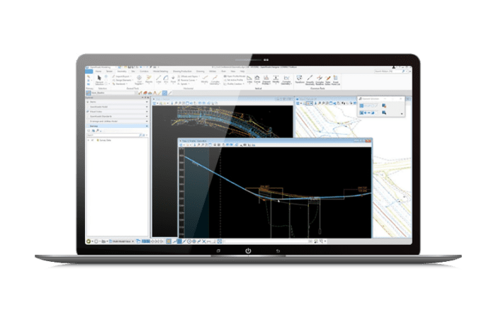
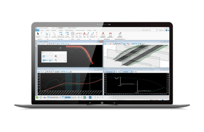
Create profiles and cross-sections from anywhere within your project. Quickly visualize updates as your project changes with dynamic cross-sections. You can see the terrain change to reflect your design changes. Include surface features, corridor components, and notations such as building limits or stationing.
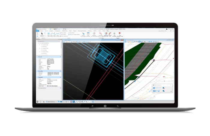
Utilize immersive corridor modeling capabilities that support the complex modeling and file federation requirements of BIM Level 2 and beyond. Simplify the complex development of every aspect of the roadway in a single parametric presentation. You can quickly move along a corridor at controlled intervals, dynamically viewing and designing all roadway components simultaneously.
Bridges design
License to use to purchase
Railway design
License to use to purchase
Concept design
License to use to purchase
Per richiedere una demo del programma si prega di compilare il modulo sottostante